
YOUR LOCAL PLUMBER IN
Surrey
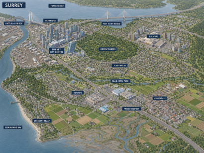
From Cloverdale’s heritage hall to Crescent Beach and Bear Creek Park, Surrey has more than one story to tell. Explore the neighbourhoods, landmarks and home styles that shape this city, then find the plumbing service you need with The Crazy Plumber.
Legend
Surveyed by
The Crazy Plumber
Port Coquitlam HQ, serving all four regions
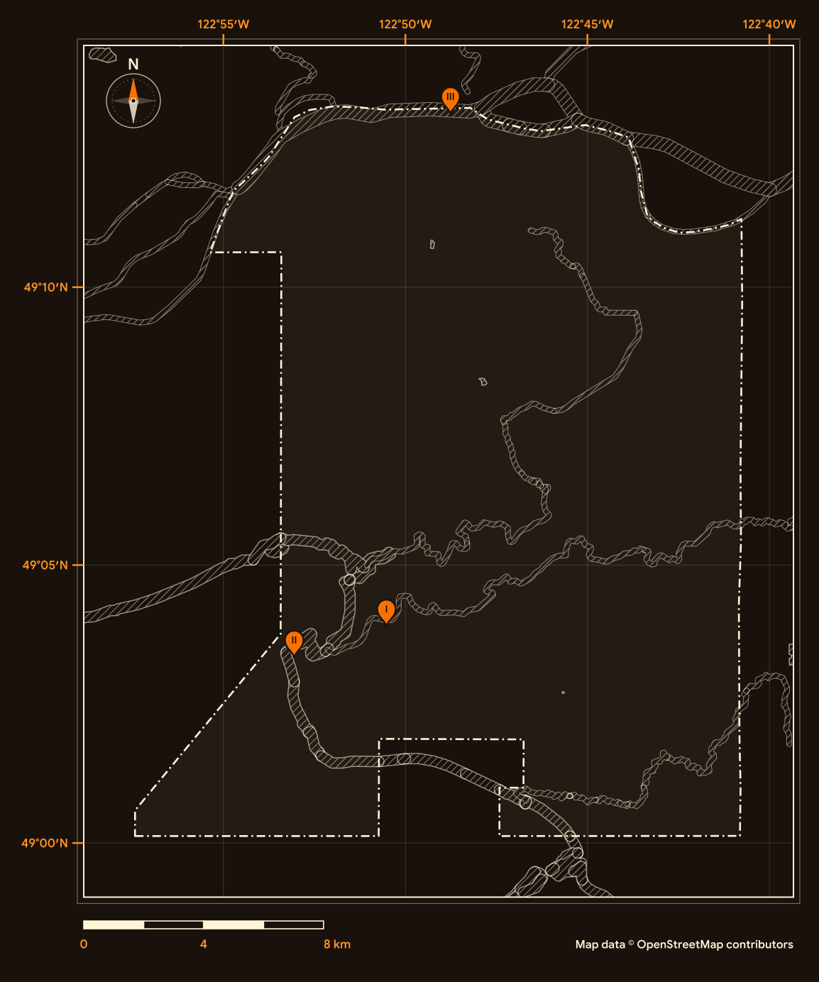
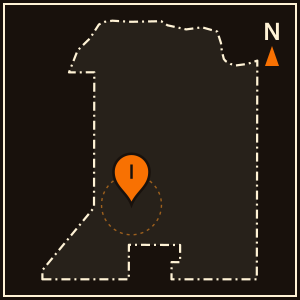
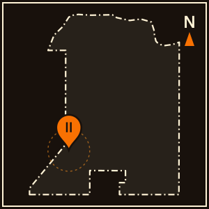
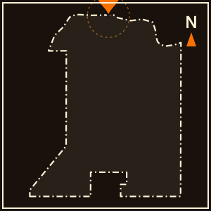
Pins I to III match the landmark plates; the dashed line is the city boundary. Map data © OpenStreetMap contributors (ODbL).
Location Landmarks
Three familiar places. Three different stories. Explore a pioneer farm, a coastal community and a bridge that changed how Surrey grew.
Historic Stewart Farm
John Stewart bought the land in 1880. His farmhouse, built in 1894, is the only completely intact late nineteenth-century farm unit in Surrey.

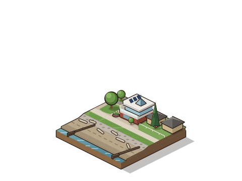
Crescent Beach
Long before European settlement, Indigenous communities maintained established villages at Crescent Beach.
Port Mann Bridge
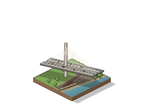
The first Port Mann Bridge, opened in 1964, accelerated Surrey’s growth as a suburban community.
Your Home, Your Community, Your Plumber.
Ready to sort out your plumbing?
Tell us what is happening at home. Request a plumbing appointment online, or call to discuss the next step.
Credentials on file
Licence
TSBC Licence # LGA0213328
Better Business Bureau
Accredited · A+ ratingGoogle reviews
854
Founded
June 2023, Port Coquitlam
Estimates
Free estimates
Very quick and efficient very pleasant. Got a new hot water tank installed. Thanks Karn
Tony was great at helping us. Very professional service amd kind man amd got the job done
Tony was fantastic to work with. He was professional, knowledgeable, and took the time to explain what was happening with our bathroom drainage issues in a way that was easy to understand. He carefully assessed the problem, answered my questions, and provided clear options without any pressure. What stood out most was his confidence, honesty, and friendly approach. He made a stressful plumbing issue feel much more manageable. The problem was resolved, everything is working properly again, and I was very happy with the service. I would gladly recommend Tony to anyone looking for a skilled and trustworthy plumber.
Randeep provided excellent service from start to finish. Arrived on time, quickly diagnosed the issue, and completed the repair professionally. Everything was explained clearly, and the work was done neatly with no mess left behind. Fair pricing and great communication. Highly recommend for any plumbing needs!
Location Data
See how Surrey grew, what kinds of homes it has, how old they are and who calls it home. Explore five views of the 2021 Census.
Residents
568,322
Earlier census
517,887
Census year
2021
Comparison year
2016
People per square kilometre
1,797.9
Land area (km²)
316.1
Private dwellings
195,098
Occupied by usual residents
185,671
Average household size
3.0
Households of one person (%)
19.8
Median age in years
38.4
Ages 0 to 14 (%)
16.6
Ages 15 to 64 (%)
68.1
Ages 65 and over (%)
15.3
Average age in years
39.5
Ages 85 and over (%)
1.7
Single-detached (%)
32.8
Apartments, 5 or more storeys (%)
4.8
All other home types (%)
62.4
Households that own (%)
69.5
Households that rent (%)
30.5
Median home value, owner-estimated
$1,000,000
Built 1981 to 2000 (%)
36.9
Homes built 1981 to 2000
68,530
Built before 1981 (%)
19.6
Built 2001 to 2021 (%)
43.5
Needing major repairs (%)
3.8
Homes needing major repairs
7,045
Historical Timeline
A new municipality, a civic centre in Cloverdale and the bridges that brought growth. Explore three turning points that helped shape Surrey.
1879
A municipality among the forests
European settlers arrived in the late 1800s, drawn by dense forests of fir, cedar and hemlock. Surrey incorporated as a municipality on November 10, 1879. First municipal clerk H.J. Brewer suggested the name, noting its similarity to Surrey, England.
1912
A civic centre in Cloverdale
Cloverdale became Surrey’s administrative hub in 1912. That year, a new Arts and Crafts-style Municipal Hall was built from local brick and stone sourced from the hill overlooking Cloverdale.
1964
Bridges bring growth
The Pattullo Bridge opened in 1937, and the King George Highway was completed in 1940. When the Port Mann Bridge opened in 1964, it accelerated Surrey’s suburban growth.
Neighbourhoods
Explore three different sides of Surrey: Cloverdale, City Centre and South Surrey. Choose a neighbourhood to see its homes, streets and setting.
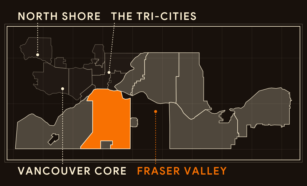
Regional key
Fraser Valley
Map data © OpenStreetMap contributors (ODbL)
Cloverdale
Surrey’s seat of municipal government from 1912 to 1962, with a protected civic heritage building at its centre.
Homes
Stone and half-timber
The 1912 Municipal Hall at 17671 56th Avenue is built in the Neo-Tudor style, with rough-cut stone cladding, masonry and false half-timbering. A 1980 bylaw protects it.
Streets
A long civic history
The hall served as Surrey’s seat of municipal government until 1962. Since 2006, it has been home to the Surrey Archives.
Setting
Farming roots
The Henry Bose Farmhouse at 16488 64 Avenue dates from about 1898, with a 1910 addition. Bose served Surrey as councillor, reeve and police magistrate.
City Centre
Surrey’s high-rise core, also known as Whalley, growing around SkyTrain stations and university campuses.
Homes
A plan for a downtown
Approved in 2017, the City Centre Plan covers about 680 hectares, similar in size to Vancouver’s downtown peninsula. Simon Fraser University and Kwantlen Polytechnic University both have campuses here.
Streets
Built around the stations
The City Centre Plan directs medium- to high-density growth around the four SkyTrain stations in City Centre, with a new mixed-use precinct of towers and shops planned around the future 140 Street station.
Setting
A changing skyline
3 Civic Plaza opened in 2018 at 52 storeys and was the tallest building in Surrey when it opened.
South Surrey
New communities and older roots, from Semiahmoo Town Centre to a heritage schoolhouse.
Homes
Neighbourhoods built by plan
Grandview Heights covers about 1,050 hectares between 16 and 28 Avenues. Since its General Land Use Plan was endorsed in 2005, growth there has followed neighbourhood concept plans such as Morgan Heights and Sunnyside Heights.
Streets
A growing town centre
The Semiahmoo Town Centre Plan, approved in 2022, covers 136 hectares north of 16 Avenue. It guides growth over 30 years toward a compact, transit-supportive centre that forms the commercial heart of South Surrey.
Setting
Older roots nearby
Kensington Prairie Elementary, a 1914 Craftsman-style schoolhouse with a fieldstone foundation, is a protected heritage site.
Builders and Developers
Meet two builders whose work helped shape early Surrey. Follow each story from local materials to buildings and the places people recognise today.
C.H. Clow, architect
Material
Brick and stone from Cloverdale.
The 1912 Municipal Hall was built with local brick and stone sourced from the hill overlooking Cloverdale, set on a rough-cut granite ashlar foundation.
Building
An architect shapes a civic hall.
Cloverdale-based architect Charles H. Clow designed the Arts and Crafts-style hall, with J.H. Vickers as contractor. It cost about $13,285 and replaced the smaller 1881 Town Hall at Surrey Centre.
Community
A hall that keeps serving.
The building was Surrey’s seat of government until 1962, then housed RCMP and justice facilities, a library and a seniors’ centre. Since 2006, it has been home to the Surrey Archives.
The Edge family
Material
Wood for a pioneer school.
The Old Anniedale School, built around 1891, is a single rectangular wood building with a hipped roof and drop siding. It was designed by the BC Department of Lands and Works.
Building
A builder family at work.
Samuel Edge, or his nephew Samuel Ephraim Edge, is credited with building the school. The Edge family also took on contracts for the Port Kells and South Lillooet schools, and for roads and bridges.
Community
A school saved twice.
One of the oldest school buildings still standing in Surrey, it was moved in 1975 to prevent demolition and relocated again in 2018 to the Museum of Surrey campus.
Styles of Homes
Recognise that roofline? Choose a home style, then explore the details that connect it with Surrey.
1890s
A pioneer farmhouse
Surrey’s farming history includes wood-frame Victorian homes built on early homesteads.
Decorative brackets
The 1894 Stewart Farmhouse at 13723 Crescent Road features decorative veranda brackets.
Bay windows
Bay windows are part of the farmhouse’s Victorian character.
A complete farm unit
Built by John Stewart, who bought the land in 1880, it is the only completely intact farm unit remaining in Surrey from the late nineteenth century.
1910s
Arts and Crafts character
Arts and Crafts ideas reached Surrey’s farms as the Craftsman style. Around Cloverdale, early farmhouses on the city’s heritage register show it in wood, shingle and stone.
A broad, low roof
The Samuel Howard Shannon House near Cloverdale, built around 1910 as a farmhouse, has a broad, low-pitched cross-gabled roof with triangular eave brackets and exposed rafter tails.
Stone, siding and shingle
Its full-width open front verandah rests on granite-faced piers, and narrow lapped wood siding gives way to cedar shingles in the gable ends.
A reeve’s farmhouse
The 1911 Robert Dougal MacKenzie House in Cloverdale, built for a farmer who later served as reeve, has a steep bellcast roof, a full-width front porch, a sleeping porch and shingle siding.
2010s onward
Homes side by side
Surrey’s housing mix includes more than 60,000 single-family detached homes, plus row houses and multi-storey apartments.
Homes in a row
The 2021 Census counted 30,930 row houses in Surrey, alongside 60,895 single-detached houses and thousands of apartments.
A large community
A 2016 City of Surrey report covers 302 townhouse units on a 5.43-hectare site beside Tynehead Park, the community now known as Canopy.
Look beyond the front door
In April 2020, Council approved the first phase of The Boroughs townhouse site in the Sunnyside Heights area.